Booking choice: The small-group White Pocket tour, from $183 per person. Check dates Tour details
Vermilion Cliffs National Monument covers about 293,000 acres of northern Arizona between the Utah line and the Colorado River. The BLM runs it as wild land: no paved roads, no visitor center and no services inside. Every stop below needs either a permit, a high-clearance vehicle, or nothing but a car and an hour.
We sorted them by how hard they are to reach, not by fame. The easy ones line US-89A; the best ones need a 4x4, a permit or a guide.
The quick answer
The best things to do at Vermilion Cliffs: White Pocket (no permit, 4x4 or tour), The Wave (lottery permit), Coyote Buttes South (smaller permit), the Wire Pass and Buckskin Gulch slot canyon ($6 day hike), the California condor viewing site (free), Lees Ferry and Navajo Bridge on the Colorado River, and the US-89A drive under the cliffs. If you only do one, make it a White Pocket tour from Kanab.
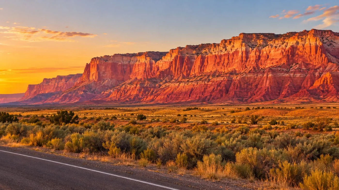
What is there to do at Vermilion Cliffs National Monument?
Hike slot canyons and slickrock, see The Wave if you win a permit, drive to White Pocket, watch condors, and walk along the Colorado River at Lees Ferry.
The main stops at a glance:
| Stop | Permit or fee | Access | Time |
|---|---|---|---|
| White Pocket | None | High-clearance 4x4 or tour | Full day from Kanab |
| The Wave | Lottery, $6 + $7 | 2WD high-clearance when dry, 6.4-mile hike | Full day |
| Coyote Buttes South | Permit, $5 | Mostly 4WD | Full day |
| Wire Pass / Buckskin Gulch | $6 day use | 8.3 miles of dirt | 2 hours to a full day |
| Condor viewing site | Free | 3 miles of dirt off US-89A | 30 to 60 minutes |
| Lees Ferry | $30 per vehicle (Glen Canyon) | Paved | Half a day |
| Navajo Bridge | Free | Paved, on US-89A | 30 minutes |
| US-89A scenic drive | Free | Paved | 1 to 2 hours |
Is White Pocket the best thing to do at Vermilion Cliffs?
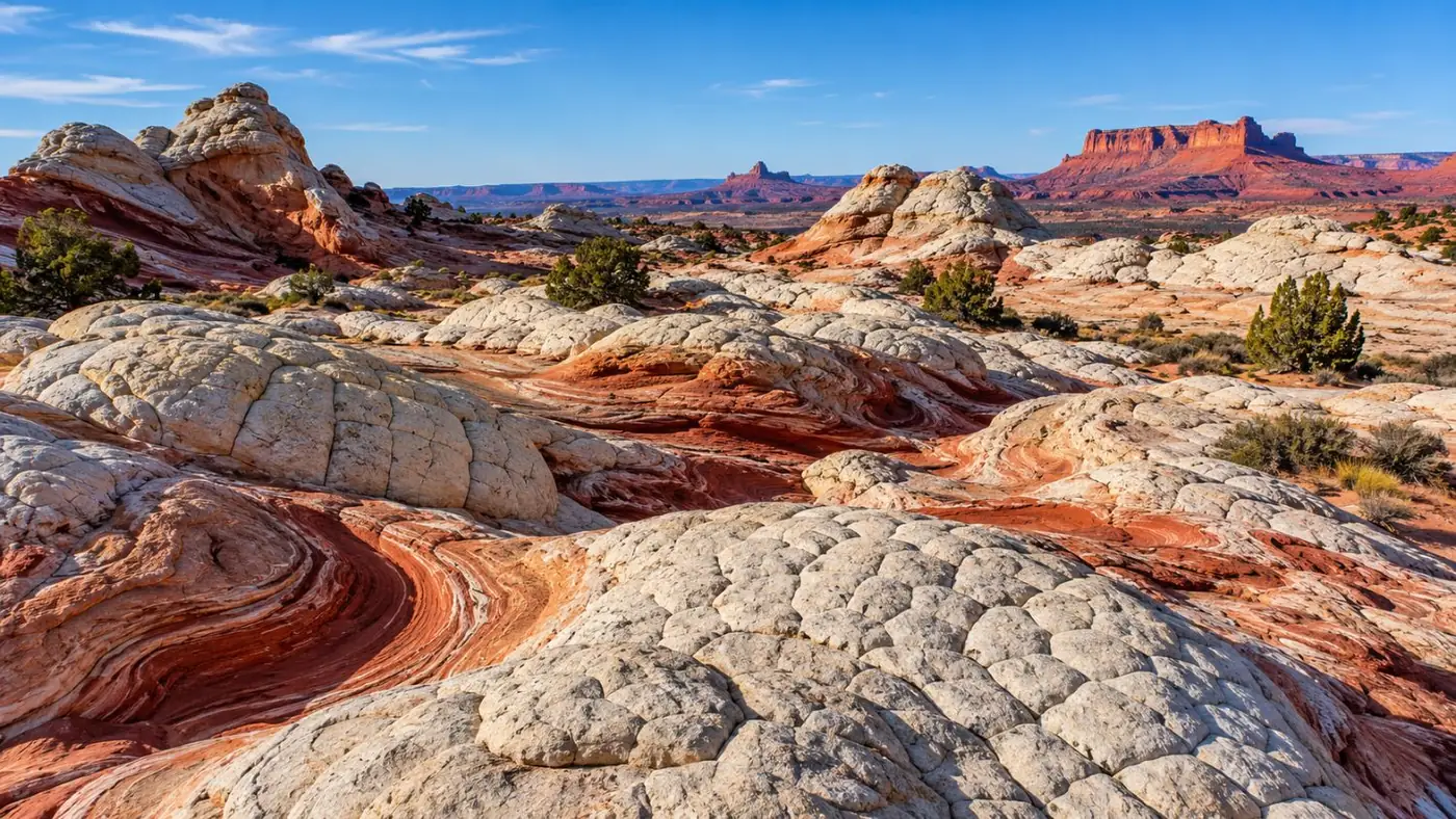
For most visitors, yes. It needs no permit and no fee, and the rock is as strange as The Wave. The catch is the deep-sand road, which is why most people take a tour.
White Pocket is out on the Paria Plateau, a long way from pavement. The BLM requires a high-clearance 4x4 and recommends a guide if you're unsure of your vehicle. The small-group tour from Kanab is the simplest way to do it: 8 hours, a driver who knows the sand and time on the swirls with a guide. The three tours, and the self-drive route, are compared in our White Pocket tours guide.
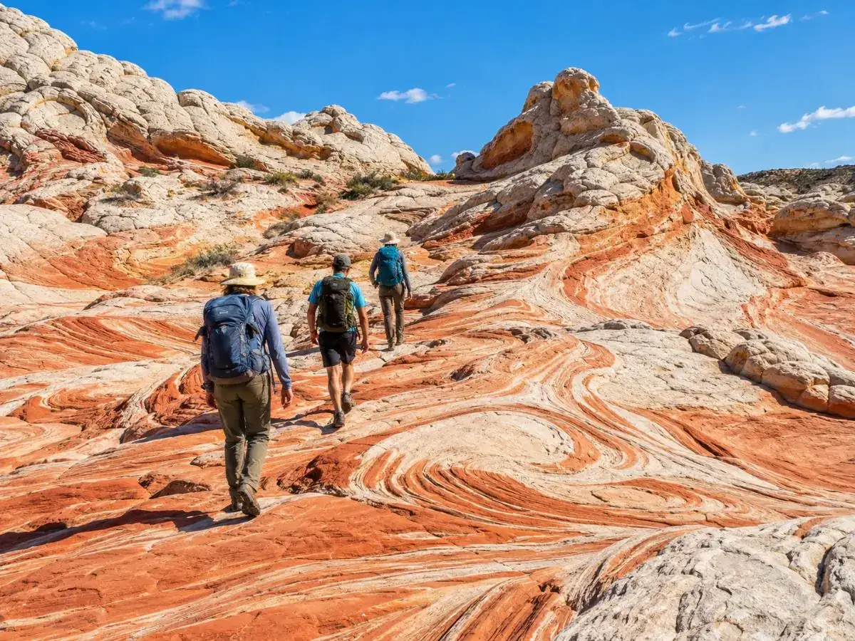
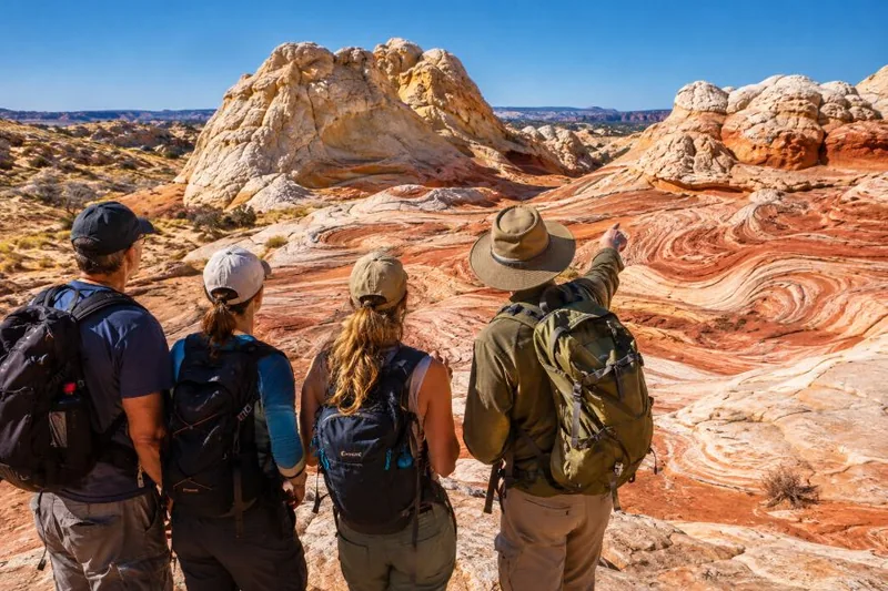
The easy way to White Pocket: a small-group 4x4 day from Kanab, no permit needed.
Explore the small-group White Pocket tour Tour detailsCan you visit The Wave and Coyote Buttes South?
Only with a BLM permit. The Wave allows 64 people a day by lottery; Coyote Buttes South allows 20, half booked online and half by daily lottery.
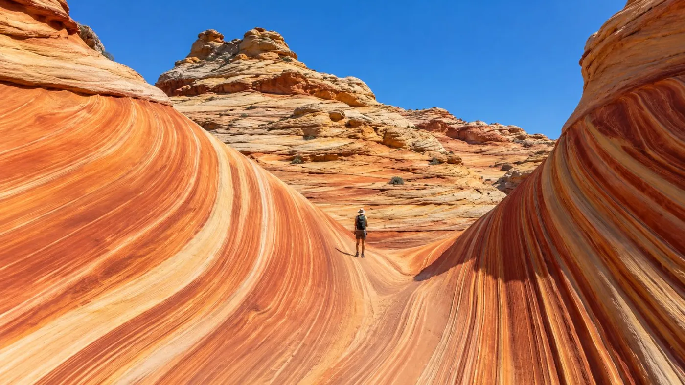
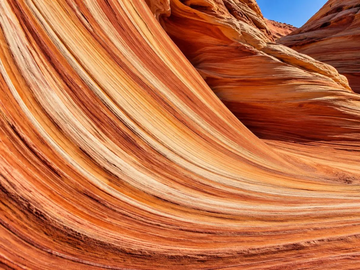
The Wave is the striped bowl everyone has seen. Getting in means winning the advance lottery four months ahead or the daily lottery from a phone near Kanab or Page, then hiking 6.4 miles round trip with no trail. Every step is in our Wave permit guide.
Coyote Buttes South is quieter and wilder: orange sandstone teepees and fins at Paw Hole and Cottonwood Cove. The BLM's rules: $5 a person, 10 permits on an online calendar that opens at noon on the 1st, four months ahead, and 10 in a daily geofence lottery two days before. Paw Hole and Cottonwood Cove need 4WD; Lone Tree can work in a high-clearance 2WD when dry but adds about 5 miles of walking in sand.
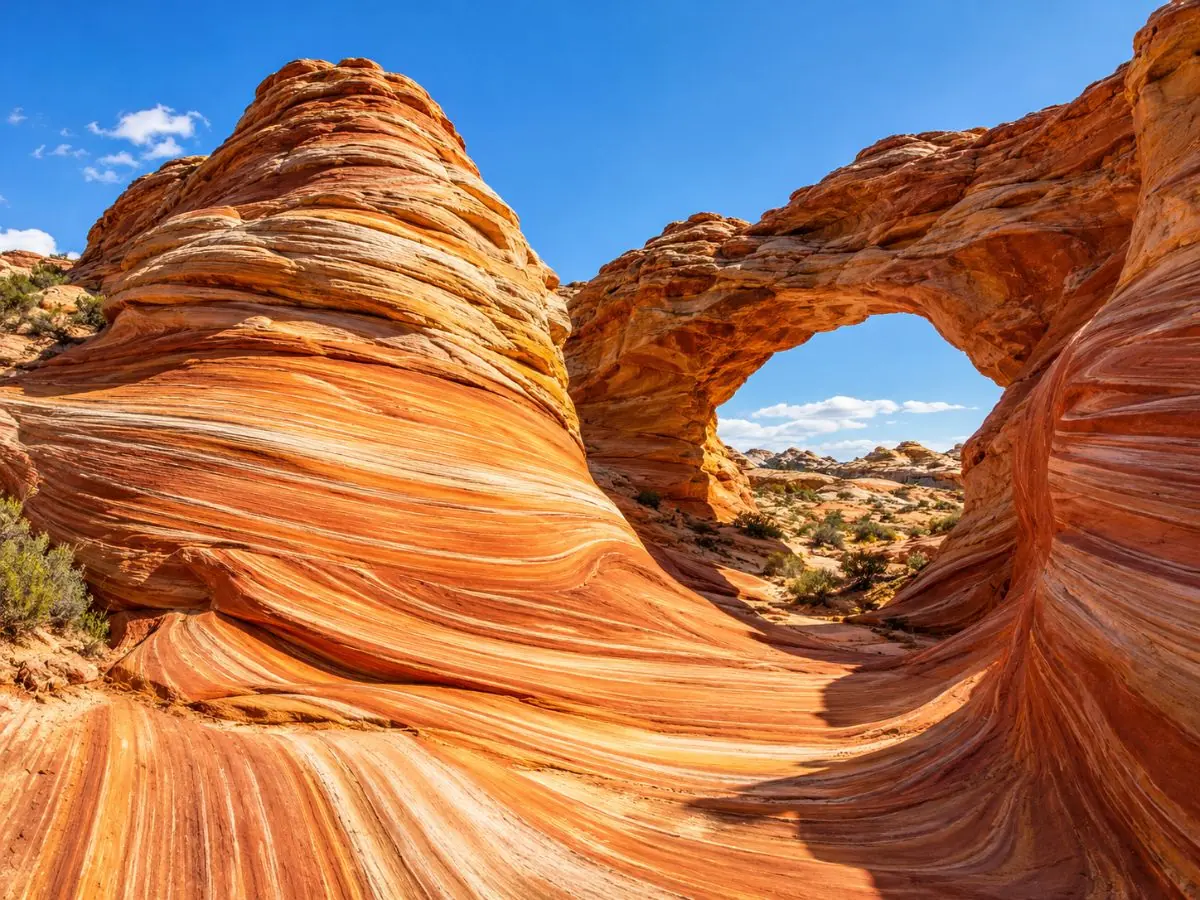
What are the best hikes at Vermilion Cliffs?
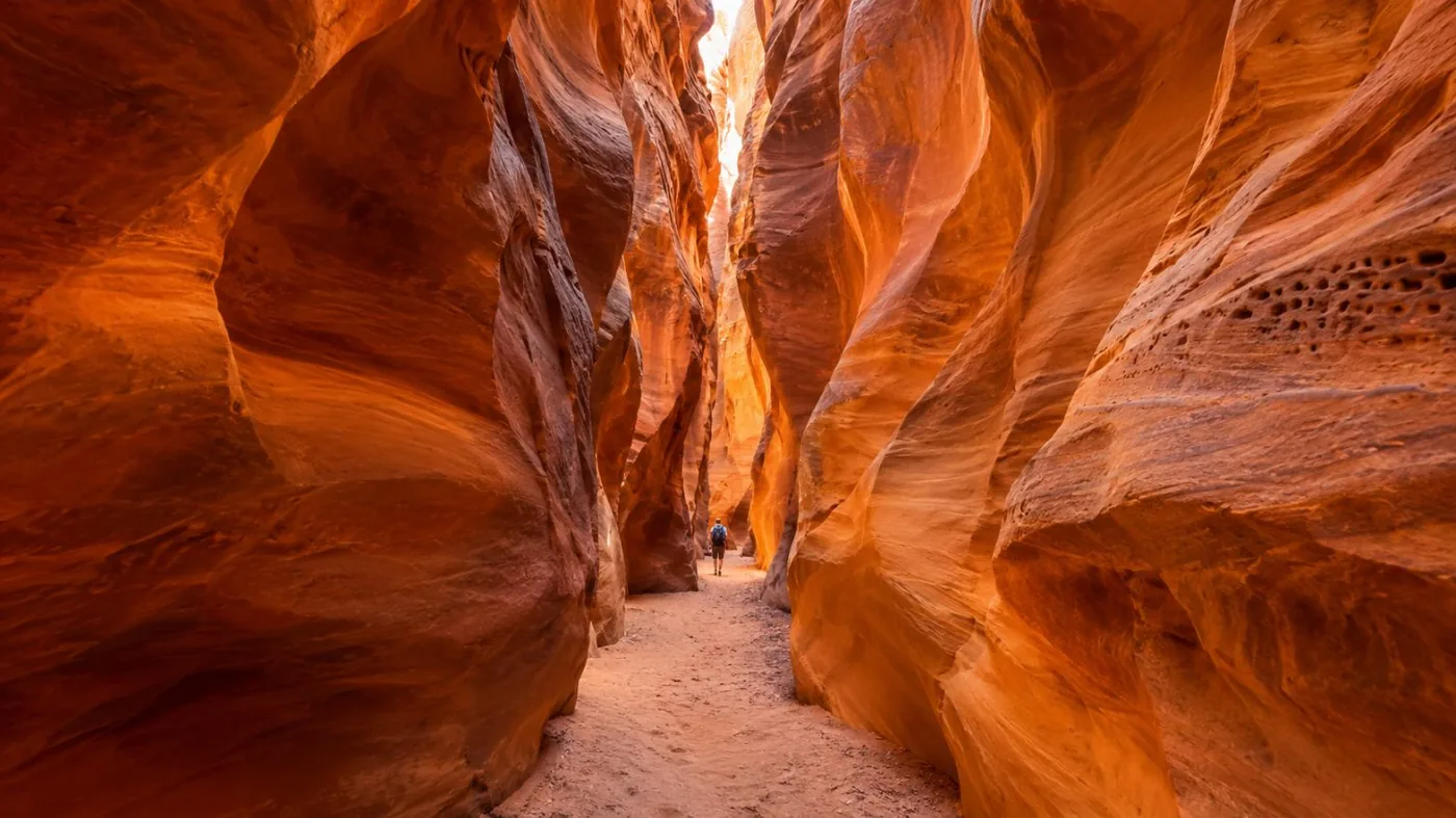
Wire Pass into Buckskin Gulch is the best one without a permit: 1.7 miles of wash and narrows to the confluence, from the Wave trailhead. The Wave is the best one with a permit.
Buckskin Gulch runs about 16 miles and the BLM calls it one of the longest continuous slot canyons in the world. You don't need to do all of it. From the Wire Pass trailhead, 8.3 miles down House Rock Valley Road, the path follows a sandy wash for about a mile before the walls close in. The confluence with Buckskin is 1.7 miles in. Turn back there, or walk up or down Buckskin as far as you like.
- Fee: $6 per person and per dog, paid at the trailhead kiosk by QR code or in advance on recreation.gov (BLM).
- Flash floods: never enter a slot if storms are forecast anywhere upstream. Check at the Paria Contact Station, open until November 14, 2026.
- Overnight: the full Paria Canyon trip is a 3 to 5-day backpack with a quota of 20 people a day and its own permit.
Other good walks: the Lees Ferry river trail (about 2 miles round trip) and, for strong hikers, the Spencer Trail, which climbs over 1,500 feet above the river.
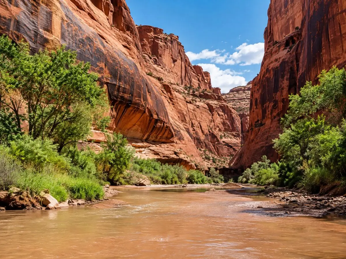
Not a slot-canyon person? The White Pocket hiking tour with lunch keeps the walking on open rock.
Check dates for the White Pocket tour with lunchWhere can you see California condors?
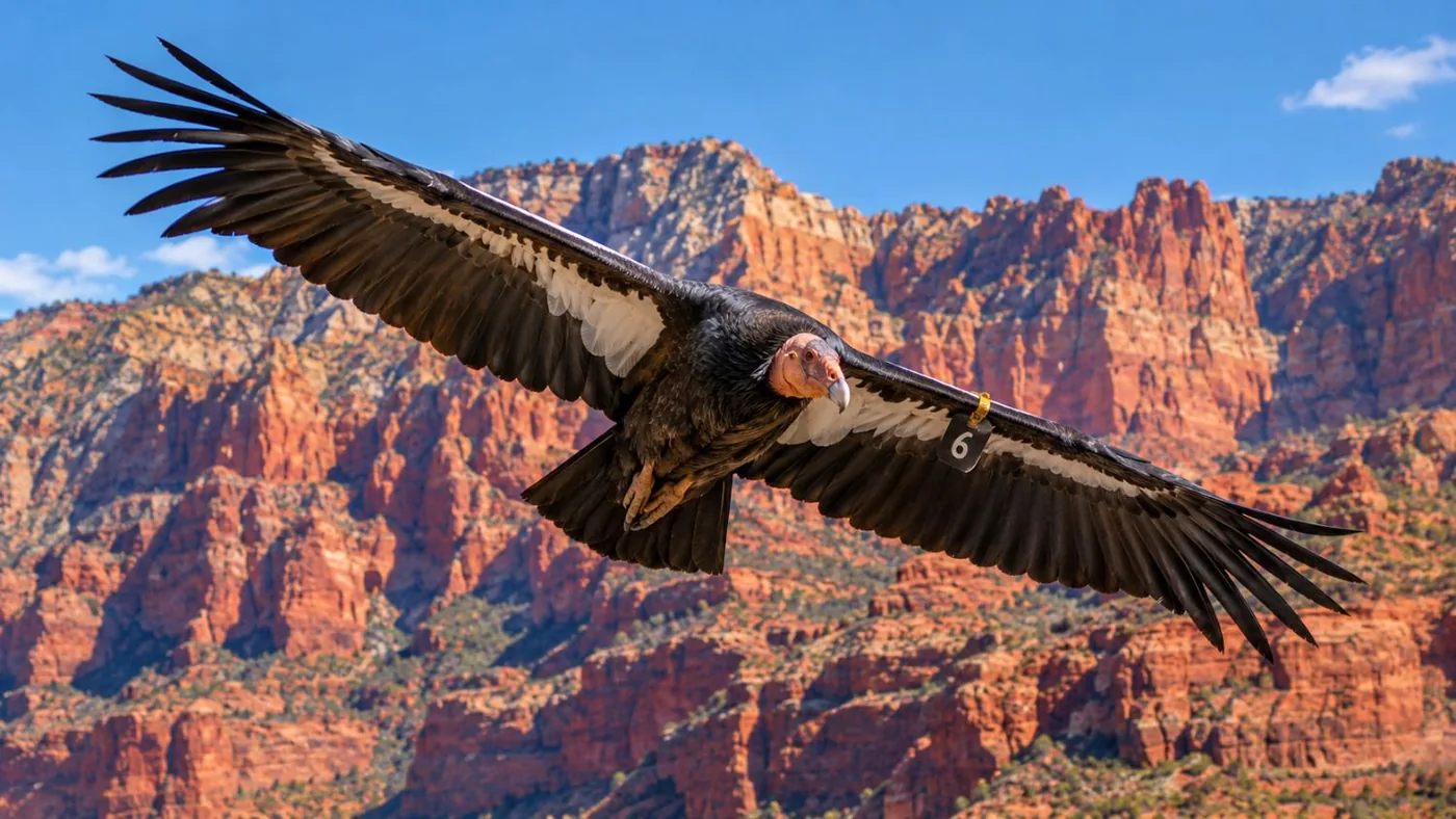
At the BLM's condor viewing site on House Rock Valley Road, about 3 miles north of US-89A. Bring binoculars: the birds often perch high on the cliffs.
The first condors were released here on December 12, 1996, after the species fell to 22 birds in the 1980s. The 30th annual release took place at the site on September 26, 2026, when four young birds left the pen; the BLM puts the world population above 600, with 392 flying free (BLM, October 2026).
The viewing site has interpretive panels, a viewfinder, picnic tables, shade and a pit toilet, and is free. It is about an hour and a quarter from Page. The road is dirt, fine for most cars when dry and impassable when wet. Navajo Bridge is the other place to look: condors circle the river gorge there too.
What is there to do at Lees Ferry and Navajo Bridge?
Walk across the 1929 Navajo Bridge 467 feet above the Colorado River, then drive 5 miles down to Lees Ferry, where the Grand Canyon begins and raft trips launch.
Navajo Bridge is two steel arches over Marble Canyon. The 1929 bridge is for walkers now; cars use the 1995 bridge beside it (history). There is an NPS interpretive center on the west end with seasonal hours.
Lees Ferry is the one place in Glen Canyon where you can drive down to the river. It is part of Glen Canyon National Recreation Area, so the $30 per vehicle weekly pass applies (NPS fees). Things to do there:
- Lonely Dell Ranch: an easy 1-mile loop past the orchard, cabins and pioneer cemetery.
- The historic site and river trail: about 2 miles round trip past stone buildings and a sunken steamboat.
- Trout fishing in the cold, clear water below Glen Canyon Dam.
- Watching the rafts: Grand Canyon river trips start from the launch ramp.
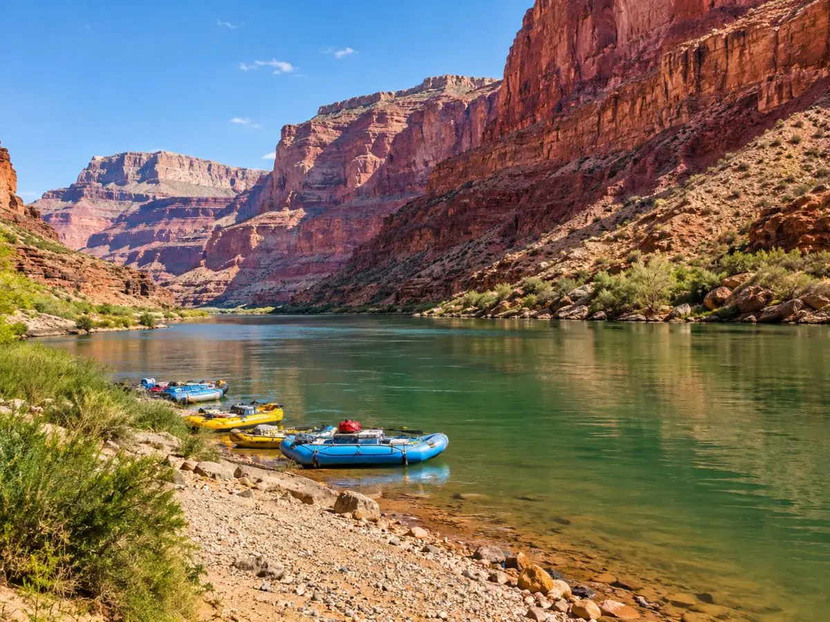
The canyon that starts at Lees Ferry is best seen from the air: a 45-minute flight from the South Rim.
Check dates for the Grand Canyon helicopter flightIs the Vermilion Cliffs scenic drive worth it?
Yes. US-89A runs about 41 miles from Marble Canyon to Jacob Lake under the cliffs, paved all the way, and costs nothing.
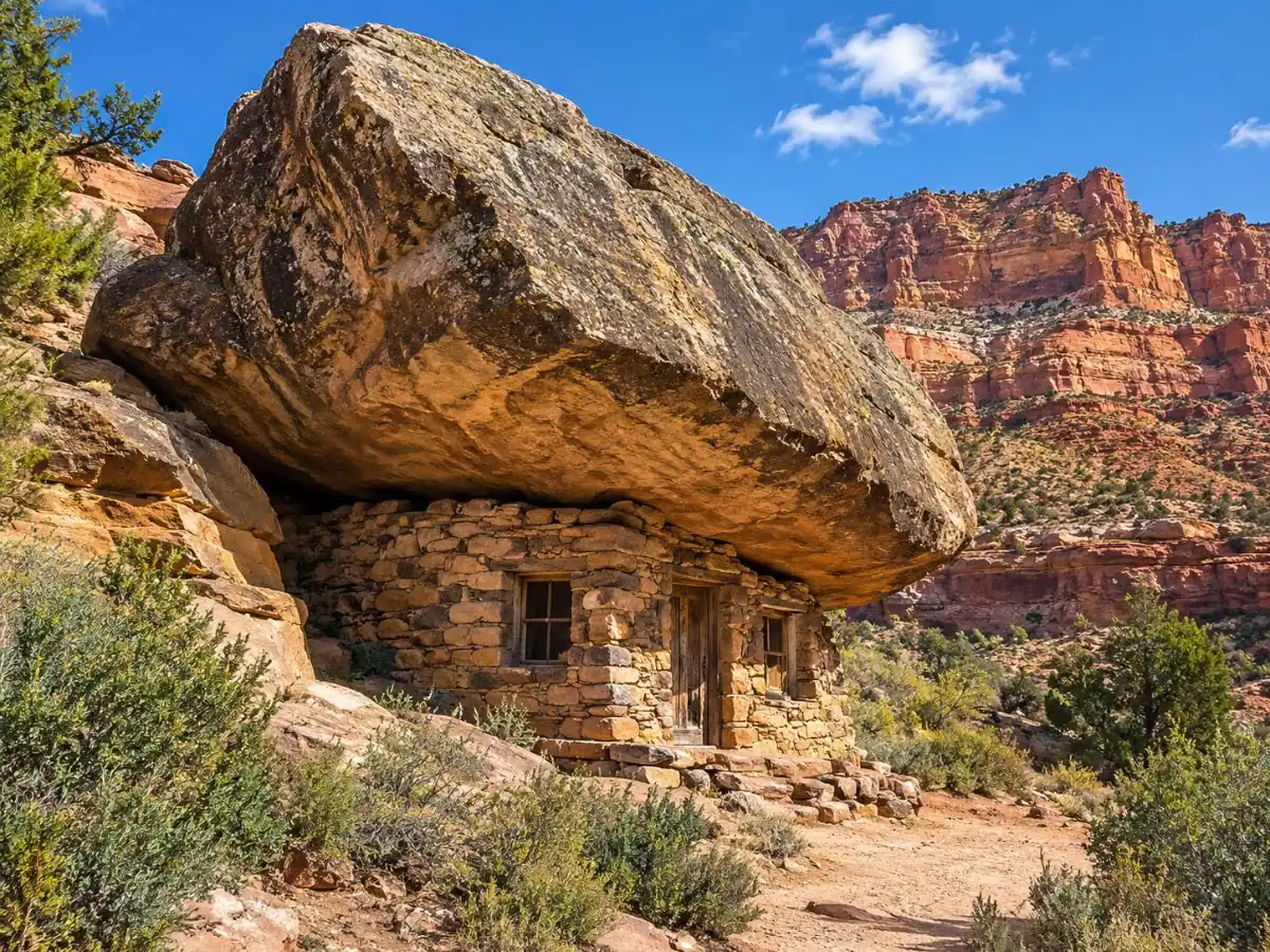
The highway skirts the monument's southern edge with the cliffs filling the right-hand window as you head west, then climbs onto the Kaibab Plateau. Stops on the way: Navajo Bridge, the boulder houses near Cliff Dwellers, the turn for the condor site and House Rock Valley. Mileposts and timing are in our scenic drive guide.
Is Vermilion Cliffs worth visiting, and what is the best way to see it?
Yes, if you plan around the roads. The best way: a White Pocket tour from Kanab for one day, then the US-89A drive and Lees Ferry on another.
This isn't a park you tour from a car window. The good parts are at the end of dirt or sand, and the best part is behind a lottery. Two days covers it well: one on the rock at White Pocket, one along the cliffs and the river. Add a third in Kanab if you're trying the daily Wave lottery.
Base yourself in Kanab for White Pocket and the Wave lottery, Page for Antelope Canyon and Lake Powell, or Marble Canyon to wake up under the cliffs. The trade-offs are in where to stay near Vermilion Cliffs.
Make the best day the easy one: White Pocket from Kanab, small group, no permit.
Check dates for the small-group White Pocket tourFrequently asked questions
What are some good hikes in Vermilion Cliffs?
Wire Pass to Buckskin Gulch (3.4 miles round trip to the confluence, $6), The Wave (6.4 miles, lottery permit), Coyote Buttes South (permit) and, near Lees Ferry, the river trail and the steep Spencer Trail. White Pocket has no trail, just open rock to wander.
Is there an entrance fee for Vermilion Cliffs National Monument?
No. The BLM charges only for specific permits, such as The Wave, Coyote Buttes South and Paria Canyon hikes. Lees Ferry is in Glen Canyon National Recreation Area, which charges $30 per vehicle for a week.
Can you see Vermilion Cliffs without a 4x4?
Yes, from US-89A, Navajo Bridge, Lees Ferry and, when the road is dry, the condor viewing site and Wire Pass. White Pocket and most of Coyote Buttes South need a high-clearance 4x4 or a tour.
How many days do you need at Vermilion Cliffs?
Two is a good minimum: one for White Pocket, one for the scenic drive and Lees Ferry. Add days in Kanab if you want to try the daily Wave lottery.
Ready to book
Choose your tour
Prices are from-prices in USD and move with the season. Check the cancellation terms on each listing before you book.
White Pocket Small-Group Tour from Kanab
- Guided day trip from Kanab, Utah
- 4x4 transport on the sand roads to White Pocket
- Time on foot at White Pocket with the guide
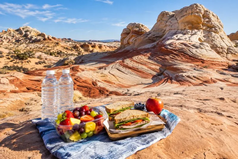
White Pocket Hiking Tour with Lunch
- Guided hiking day from Kanab, Utah
- Transport to White Pocket and back
- Lunch
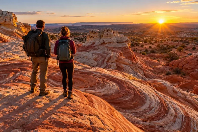
White Pocket Tour & Hike
- Day trip from Kanab, Utah
- Transport to White Pocket and back
- Hike at White Pocket