Booking choice: The small-group White Pocket tour, from $183 per person. Check dates Tour details
The Vermilion Cliffs drive is US-89A, a paved highway that skirts the south edge of Vermilion Cliffs National Monument between Marble Canyon and Jacob Lake. Arizona lists it as part of the Fredonia-Vermilion Cliffs Scenic Road, which runs from Bitter Springs to near Fredonia.
The mileposts below come from the Arizona Department of Transportation's corridor plan for the road, and the side trips from the BLM and the National Park Service.
The quick answer
Yes, you can drive past the Vermilion Cliffs, but not through the monument on pavement: the BLM says it has no paved roads. The scenic stretch is US-89A from Navajo Bridge at Marble Canyon west to Jacob Lake, about 41 miles. Stops: Navajo Bridge, Lees Ferry (5 miles off the highway), the lodges and boulder houses below the cliffs, the condor viewing site (3 miles of dirt) and the climb to Jacob Lake. Allow 1 to 2 hours, or a full day with Lees Ferry.
Can you drive through Vermilion Cliffs National Monument?
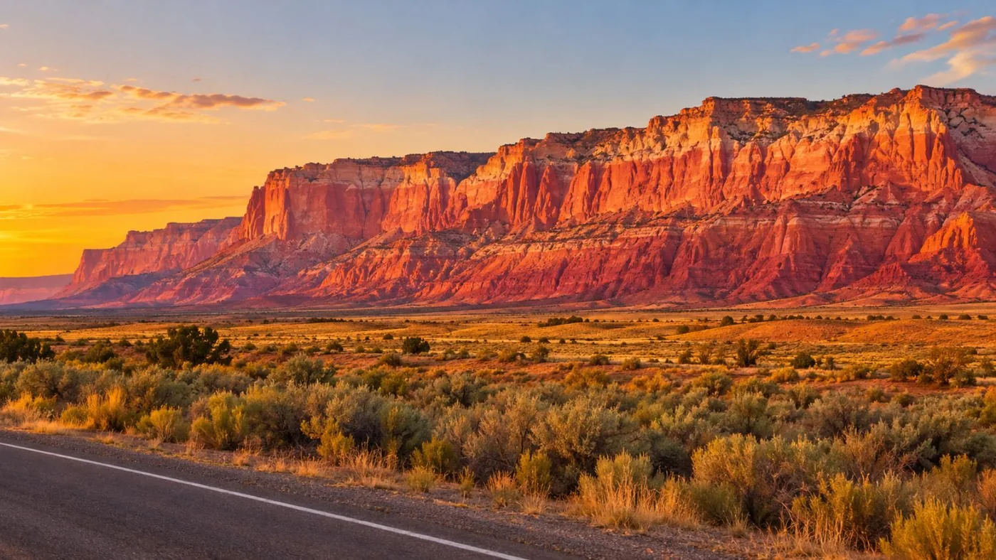
Not on pavement. The BLM says there are no paved roads in the monument. US-89A runs along its southern edge and US-89 along its northern edge; inside, the roads are dirt and sand.
That's straight from the BLM's monument page: no paved roads, no visitor center. House Rock Valley Road (BLM 1065) is maintained dirt that crosses the western side from US-89 to US-89A, about 33 miles, and may be impassable when wet. Other roads generally need a high-clearance 4x4 because of deep sand.
For most visitors the answer is a paved loop: US-89A under the cliffs on the south side, and US-89 between Kanab and Page on the north. The two meet at Bitter Springs in the east and at Kanab in the west.
What is the Vermilion Cliffs Scenic Highway?
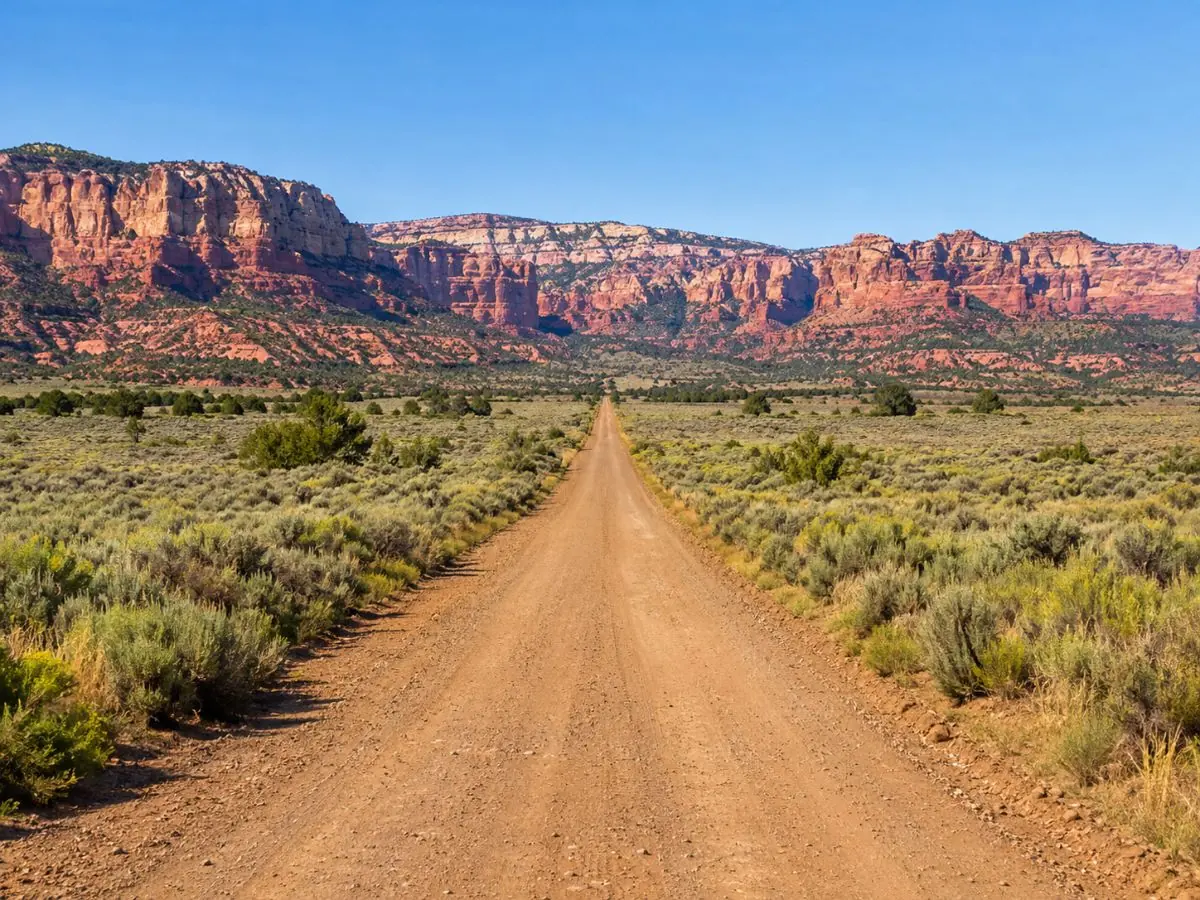
The common name for US-89A between Marble Canyon and Jacob Lake. Its official Arizona name is the Fredonia-Vermilion Cliffs Scenic Road.
ADOT's corridor plan describes the scenic road from US-89 at Bitter Springs (milepost 524) to near Fredonia (milepost 607.7), about 84 miles. The part people mean when they talk about the Vermilion Cliffs drive is the middle: from Navajo Bridge, the road runs about 30 miles southwest and west along the base of the cliffs through House Rock Valley, then climbs the East Kaibab Monocline to Jacob Lake on the forested plateau.
Where is the Vermilion Cliffs drive, and how long is it?
In far northern Arizona, between Page and the Grand Canyon's North Rim. Marble Canyon to Jacob Lake is about 41 miles; allow at least an hour without stops.
Stops in order, heading west, with approximate ADOT mileposts:
| Milepost | Stop | What's there |
|---|---|---|
| 524 | Bitter Springs | Junction with US-89 from Page and Flagstaff |
| About 538 | Navajo Bridge and Marble Canyon | Footbridge, NPS interpretive center, turn for Lees Ferry |
| 541.5 | Lees Ferry Lodge | Rooms and a tavern below the cliffs |
| 547 | Cliff Dwellers | Lodge, restaurant and the boulder houses |
| About 566 | House Rock Valley Road | Dirt road north to the condor site (3 miles), Wire Pass and US-89 |
| 579.3 | Jacob Lake | Jacob Lake Inn; SR 67 south to the North Rim |
From Page, it is about 43 miles and 50 minutes to Lees Ferry by NPS figures. From Kanab, take US-89A south through Fredonia to Jacob Lake and drive the route east instead.
What is there at Navajo Bridge and Lees Ferry?
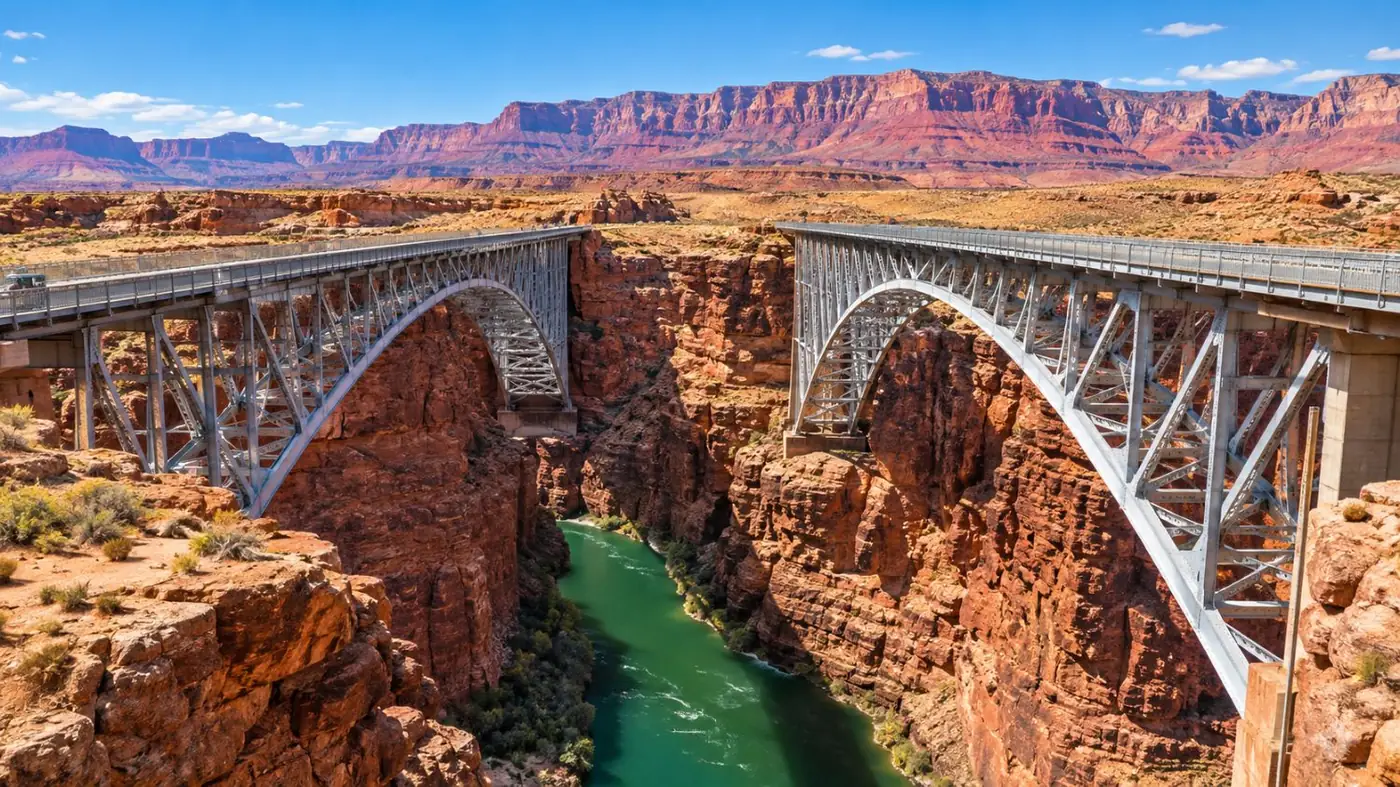
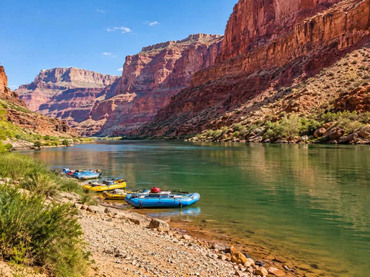
A walk across the 1929 bridge 467 feet above the Colorado River, then Lees Ferry, 5 miles down a side road: the start of the Grand Canyon and the only spot in Glen Canyon you can drive to the water.
Navajo Bridge opened in 1929 and now carries walkers; traffic uses the second bridge, opened in 1995, next to it (history). Park on the west side, where the NPS interpretive center keeps seasonal hours, and walk out over Marble Canyon. Look for condors riding the air above the gorge.
Lees Ferry is inside Glen Canyon National Recreation Area, so the $30 vehicle pass applies. Walk the 1-mile Lonely Dell Ranch loop or the 2-mile river trail past the old ferry site, and watch Grand Canyon rafts rig at the ramp.
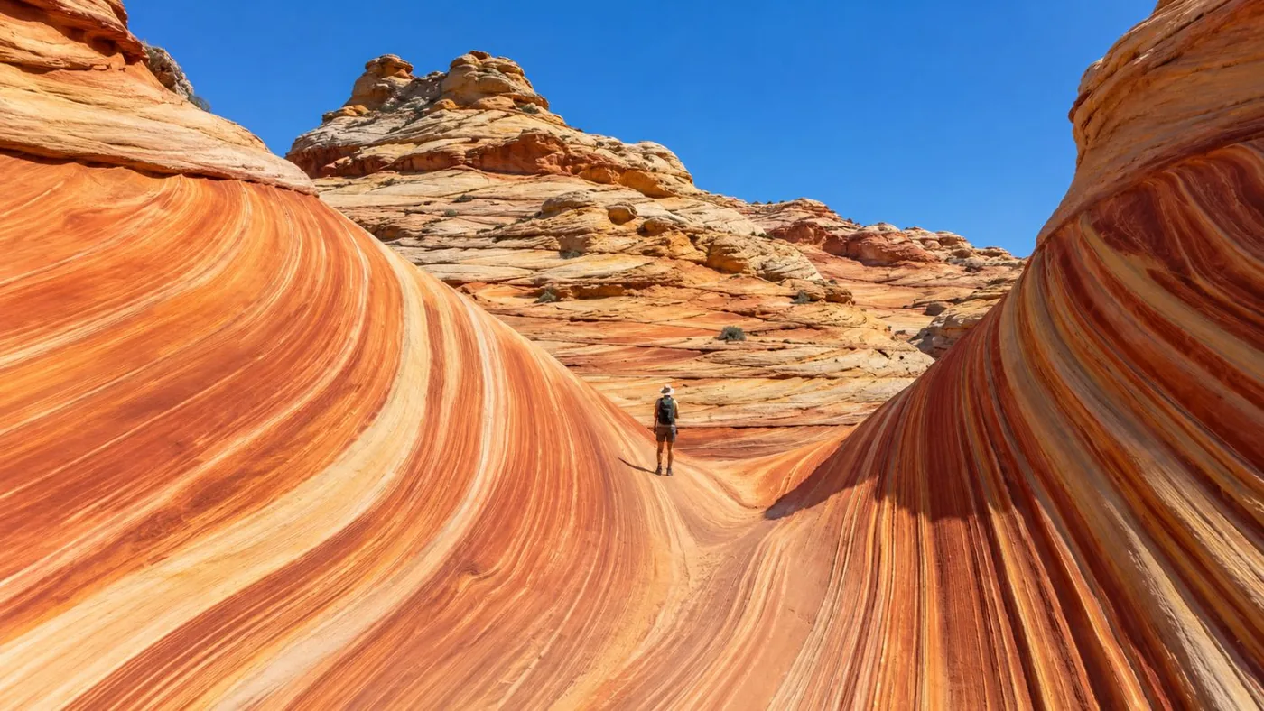
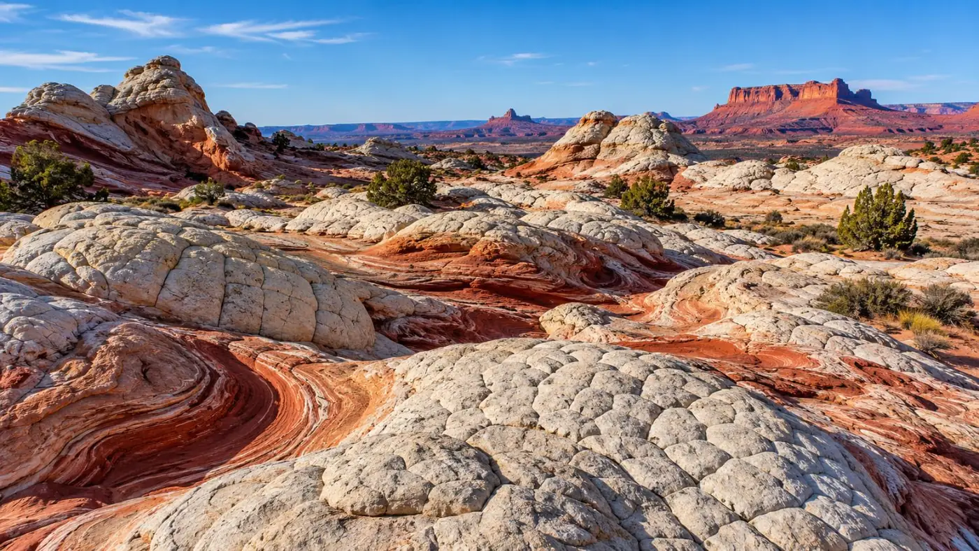
The drive shows you the cliffs. To stand on the swirls at White Pocket, a guide drives the sand from Kanab.
Check dates for the small-group White Pocket tourWhat do you pass along the cliffs?
Two small lodges, the stone boulder houses at Cliff Dwellers, open range in House Rock Valley and, all the way, the red wall of the cliffs to the north.
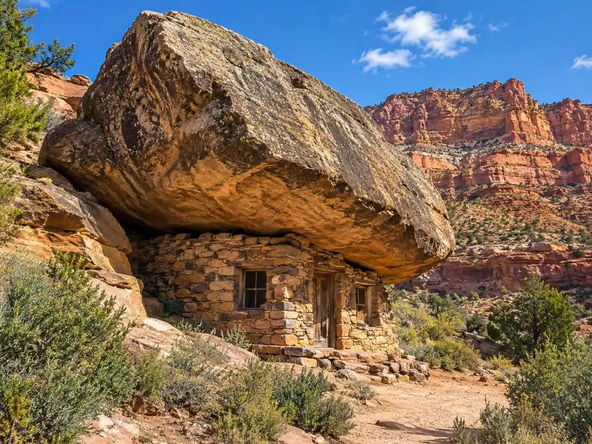
West of Marble Canyon the cliffs rise about 3,000 feet on your right. The road runs close under them at first, past Lees Ferry Lodge (milepost 541.5) and Cliff Dwellers Lodge (milepost 547). Near Cliff Dwellers, old stone shelters sit tucked under huge fallen boulders right by the highway: pull over, they take five minutes.
Further west, the valley opens out into House Rock Valley: sagebrush, open range and the cliffs curving away north. Watch for livestock on the road. Light is best in the last two hours before sunset, when the cliffs turn the deep red they're named for.
Where is the condor viewing site?
On House Rock Valley Road, about 3 miles north of US-89A. It is free, with panels, a viewfinder, shade and a pit toilet.
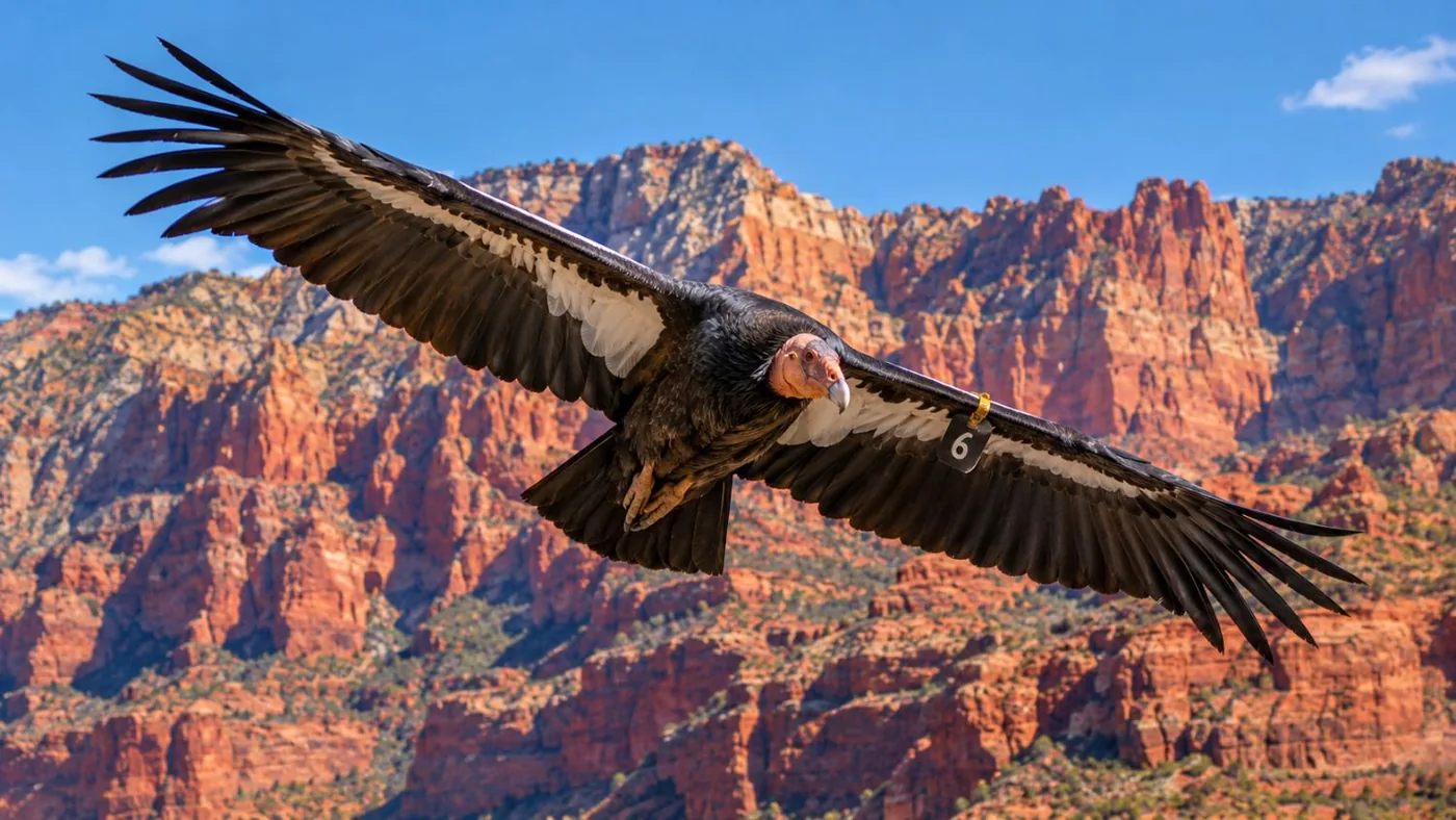
Turn north off US-89A onto House Rock Valley Road (BLM 1065) and drive about 3 miles of dirt to the BLM condor viewing site on the east side. The release pens are on the cliff edge above; the birds roost high on the face, so bring binoculars or a scope. The road is fine for most cars when dry and impassable when wet.
Condors have been released here every autumn since December 1996. The 2026 release, the 30th, was on September 26, when four young birds took flight (BLM). Supplies are about 40 minutes away, so bring water.
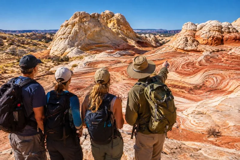
Combine the cliffs with a day on the rock: White Pocket, small group, no permit, from Kanab.
Explore the small-group White Pocket tour Tour detailsCan you add a dirt-road detour?
Yes, House Rock Valley Road north to Wire Pass and US-89 works in a high-clearance car when dry. Stay off the sand roads unless you have a 4x4.
From US-89A, House Rock Valley Road runs north past the condor site to Stateline Campground and the Wire Pass trailhead, then out to US-89 between Kanab and Page, about 33 miles in all. It turns the drive into a loop and lets you hike into Buckskin Gulch ($6 day use). The BLM says high-clearance 2WD is often fine when dry; in rain it can be impassable.
Turning east onto BLM 1017 toward White Pocket is another matter: deep sand, sharp rock and a BLM line that says a high-clearance 4x4 is required. That's a job for a guided tour. More in our White Pocket guide.
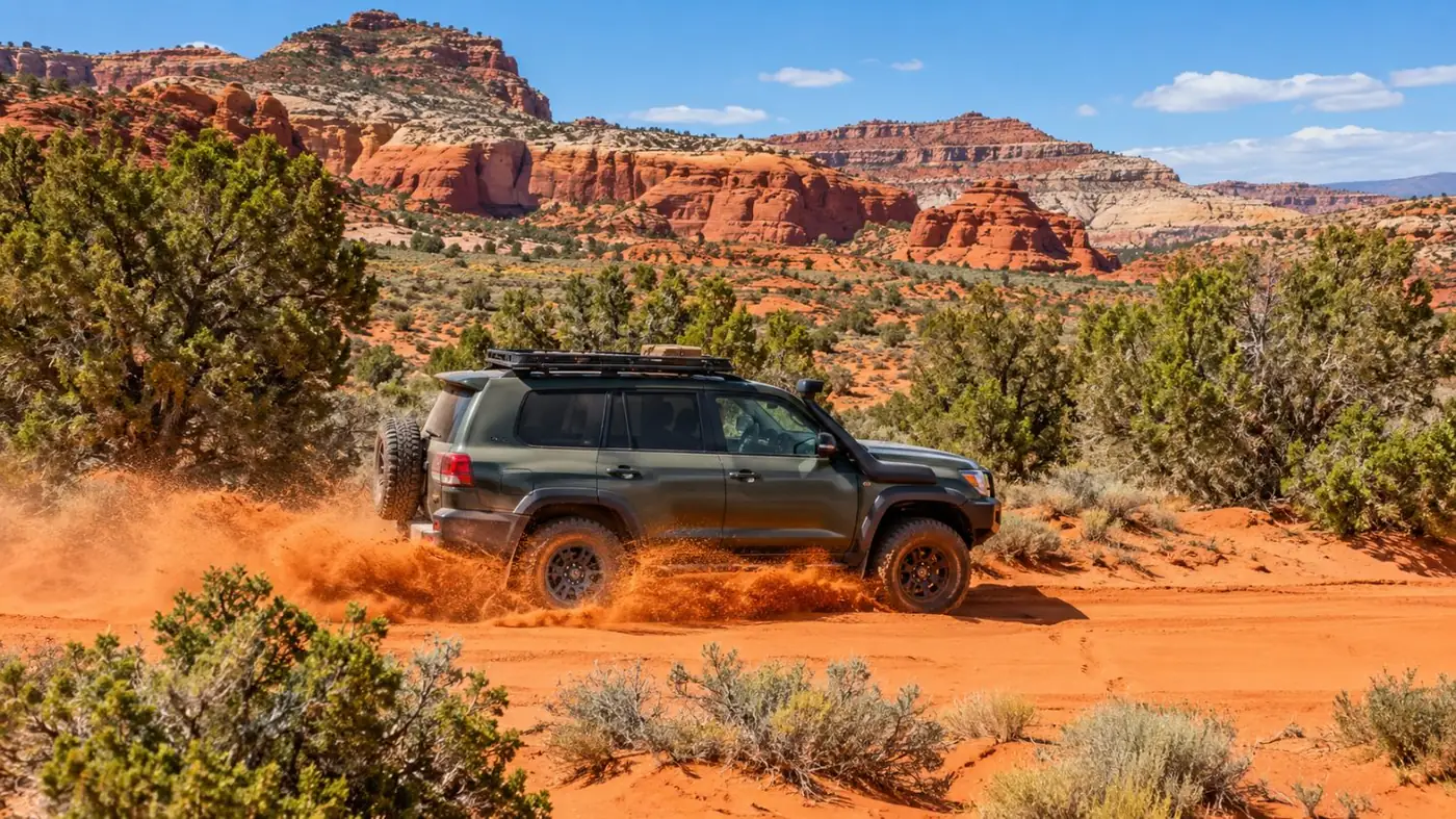
Sand roads are where rental cars dig in. The White Pocket tour with lunch drives them for you.
Check dates for the White Pocket tour with lunchWhen is the best time to drive US-89A?
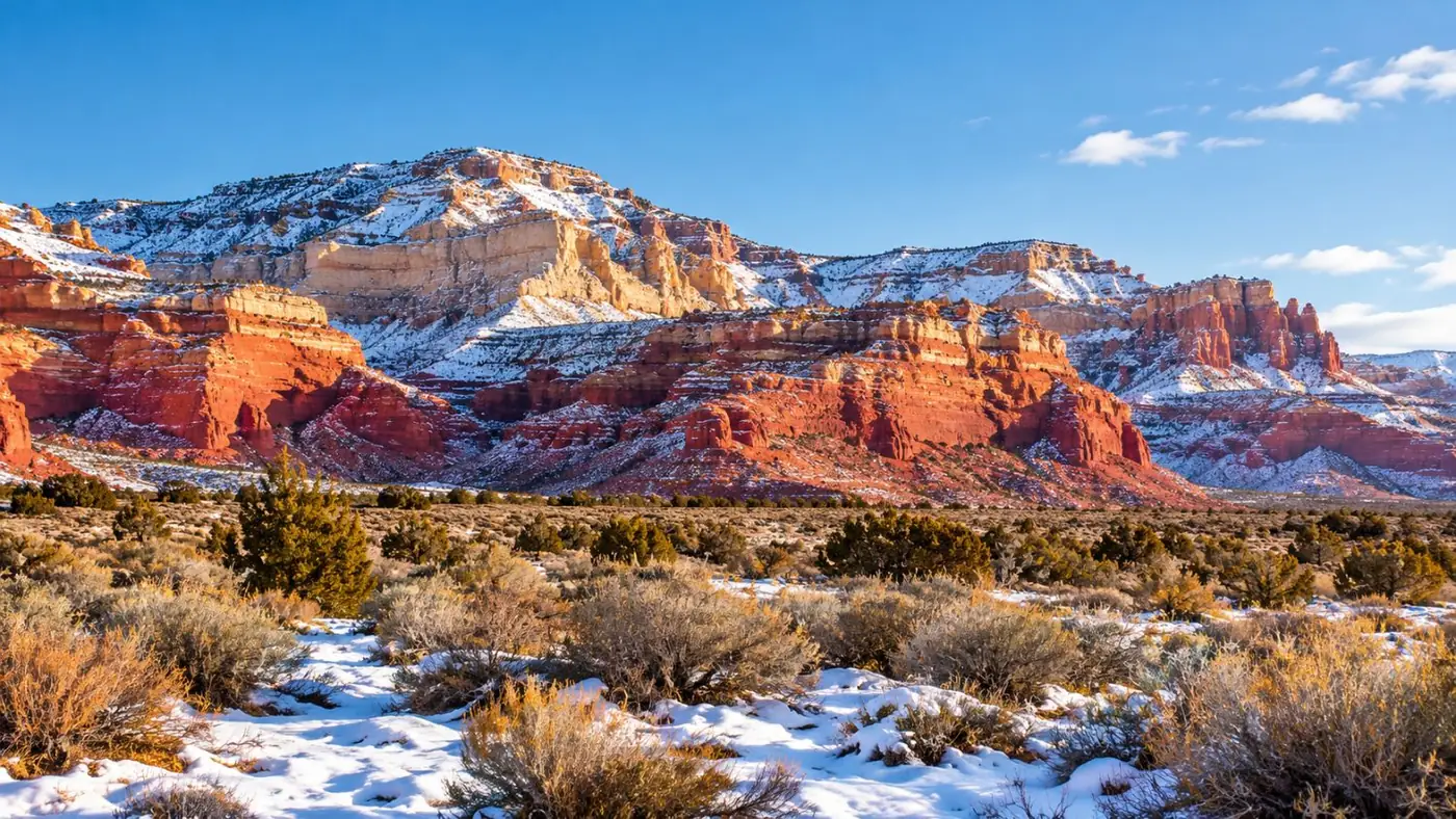
Any time of year on the paved road, with the best light in the late afternoon. In winter, the climb to Jacob Lake can get snow and ice.
The road through House Rock Valley is low desert and rarely closes. The climb onto the forested Kaibab Plateau to Jacob Lake is a different climate: snow is common in winter, so check ADOT conditions before you go. Jacob Lake is also the turn for the North Rim on SR 67, which closes to cars in winter.
For photos, drive west in the morning with the sun behind you, or east in the late afternoon with the cliffs lit. Fill your tank in Page or Kanab: services along the way are few. Winter notes for the region are in our winter post.
Frequently asked questions
Can I drive through Vermilion Cliffs?
Not on pavement: the BLM says the monument has no paved roads. You can drive along it on US-89A (south side) and US-89 (north side), or cross it on House Rock Valley Road, which is dirt.
How long is the Vermilion Cliffs scenic drive?
Marble Canyon to Jacob Lake on US-89A is about 41 miles, an hour without stops. With Navajo Bridge, Lees Ferry and the condor site, plan half a day.
Where is the Vermilion Cliffs Scenic Highway?
In northern Arizona on US-89A, between Navajo Bridge at Marble Canyon and Jacob Lake. Arizona's official name for the road is the Fredonia-Vermilion Cliffs Scenic Road.
Is there gas along US-89A at Vermilion Cliffs?
Services are few. Fill up in Page or Kanab, and treat anything at Marble Canyon or Jacob Lake as a bonus.
Ready to book
Choose your tour
Prices are from-prices in USD and move with the season. Check the cancellation terms on each listing before you book.
White Pocket Small-Group Tour from Kanab
- Guided day trip from Kanab, Utah
- 4x4 transport on the sand roads to White Pocket
- Time on foot at White Pocket with the guide
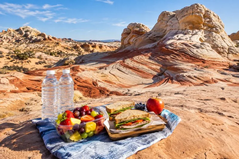
White Pocket Hiking Tour with Lunch
- Guided hiking day from Kanab, Utah
- Transport to White Pocket and back
- Lunch
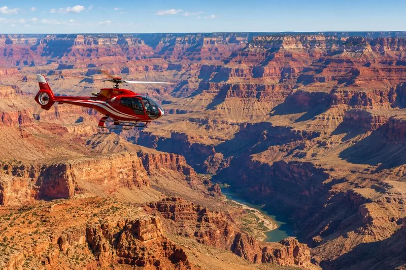
Grand Canyon South Rim Scenic Helicopter Tour
The Grand Canyon from the air, from the South Rim